

US Border Logistics Briefing - October 11, 2026
Prepared 6:00 AM PDT
Border conditions this morning are being driven less by measured queue times and more by weather, airport disruption, and a generally information-light crossing feed. The latest CBP/CBSA pull is fresh at 12 minutes old, but it shows no active wait-time data in the last two hours, so there is no current lane-level congestion signal to anchor dispatch decisions. That means operational attention shifts to the weather overlay, which is the clearest live risk factor in the feed, especially for Southern California ports of entry and Arizona corridors.
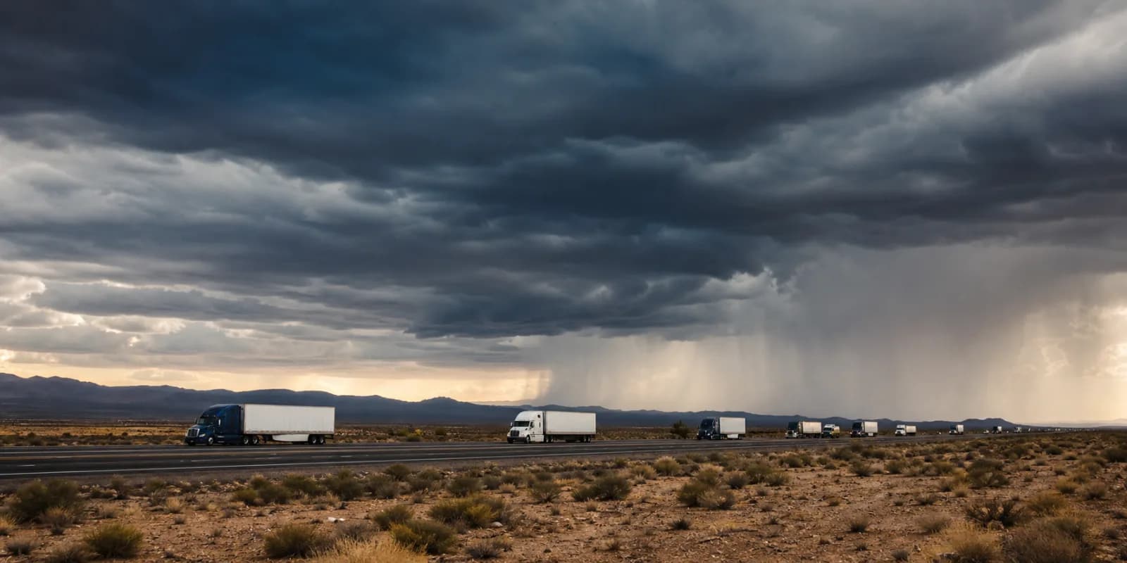
The weather picture is the most consequential near-term issue. San Diego is under overlapping severe coastal flood and flood watch products through the afternoon and evening, with a coastal flood warning running until 3:00 PM PDT and flood watches extending to 8:00 PM PDT. Tucson and Phoenix are under wind advisories through late evening, which matters for high-profile freight movements and any equipment sensitive to crosswinds. The San Diego area also carries a tropical cyclone local statement and beach hazards statements, reinforcing that coastal impacts are broad-based rather than isolated to one shoreline segment. Separately, the feed flags freezing conditions at Sweetgrass at -1°C, which is a notable exception in an otherwise warm-border operational picture and may matter for northern cross-border planning.
Air operations are also uneven. Phoenix Sky Harbor is reporting a ground delay averaging 39 minutes, with low ceilings cited as the associated condition. San Diego International is showing an airport closure notice for non-scheduled transient general aviation aircraft except PPR, which is a meaningful local restriction even if it does not directly translate into commercial cargo disruption. Taken together, the aviation picture suggests weather is affecting movement patterns in both the Southwest and on the California coast, and that irregularity is likely to spill into truck scheduling around airport-adjacent logistics networks.
On trade-policy developments, the recent feed contains several government notices, but they remain raw-current policy-document context only and should not be treated as normalized policy facts or legal advice. The most proximate items are dated October 8–13, 2026 and include Commerce notices on welded stainless steel pressure pipe from Vietnam, certain hot-rolled steel flat products from South Korea, paper shopping bags from Cambodia, and passenger vehicle and light truck tires from Thailand. There is also a CBP proposed rule on advance traveler information for rail, plus ITC notices involving phosphate fertilizers from Morocco and Russia, DRAM devices, and forged steel fittings from India and South Korea. Because the supplied context is a notice summary rather than a claim-audited policy record, the only operationally safe reading is that the trade-policy environment remains active; specific compliance implications are not evidenced here.
Crossing Delays and Lane-Level Figures
There are no active wait-time observations in the last two hours, so this briefing cannot identify currently delayed crossings or provide lane-by-lane queue metrics. That absence is itself the key operational fact: the border feed is fresh but silent on live congestion. For dispatchers, that means decisions should rely more heavily on route-level weather and airport constraints than on crossing dwell estimates this morning. No lane-type data were supplied for the current window, and no distinct port-level wait figures are available to distinguish auto, commercial, or pedestrian pressure.
Significant 24-Hour Changes
The largest practical change in the last 24 hours is the escalation and overlap of weather messaging on the Southern California coast and in Arizona. San Diego’s flood-related products now extend across both the early morning and overnight issuance cycles, with the newest flood watch issued at 4:02 AM PDT and the newest coastal flood warning at 3:53 AM PDT. Those are live, time-bounded constraints, not historical references. In Arizona, the Tucson wind advisory was issued at 5:56 AM MST and the Phoenix wind advisory at 12:23 AM MST, indicating that the wind risk is now formally elevated across the lower desert corridor. Cause not identified in current feeds beyond the NWS hazard descriptions themselves.
The other notable change is the aviation disruption profile. Phoenix is already operating under a ground delay with a 39-minute average impact tied to low ceilings, while San Diego’s airport notice indicates a closure to non-scheduled transient GA aircraft except PPR. That combination is important because even when border crossing data are quiet, airside constraints can still affect time-sensitive freight, team-driver scheduling, and the ability to recover missed connections.
Trade-Policy Documents and Caveats
Recent policy documents in the feed are numerous enough to signal ongoing regulatory churn, but each entry remains a policy-document summary rather than a claim-audited operational directive. The CBP proposal on advance traveler information for rail is the most logistics-relevant item for multimodal operators because it concerns electronic traveler data transmission for arriving rail crew and passengers. However, the provided summary is truncated, and no current effective date, compliance deadline, or enforcement status is established here.
The remaining notices are sector-specific trade-remedy actions. Commerce items involve Vietnam stainless pressure pipe, South Korean hot-rolled steel, Cambodian paper shopping bags, and Thai tires. ITC notices include phosphate fertilizers from Morocco and Russia, DRAM devices, hydrodermabrasion systems, and forged steel fittings. Operationally, these documents matter as indicators of an active trade-remedy docket, but the feed does not provide enough claim-bearing detail to infer tariff changes, landed-cost effects, or shipment-specific exposure.
Aviation and Airport Conditions
Phoenix Sky Harbor is the clearest transportation bottleneck in the current feed, with a FAA ground delay averaging 39 minutes due to low ceilings. That is a concrete, quantified disruption that can affect cargo pickup windows, late truck dispatches, and intermodal handoffs. San Diego International is not showing a general commercial closure in the feed, but the airport notice does restrict non-scheduled transient GA aircraft except with prior permission. For logistics teams, that suggests the airport environment is constrained enough to merit caution around ad hoc aviation movements, even if scheduled commercial operations are not explicitly described as shut down.
Weather Alerts and Notable Crossing Conditions
Southern California is the highest weather-risk corridor in this dataset. The San Diego area has both a flood watch and a coastal flood warning, plus beach hazards statements and a tropical cyclone local statement. The presence of multiple overlapping alerts implies a broad marine and coastal hazard environment, which can matter for local access roads, staging near the coast, and any border-adjacent movement that depends on predictable surface conditions. The feed does not identify specific ports of entry impacted, so it would be incorrect to assign a crossing closure or staffing explanation.
Arizona’s wind advisories are the other notable factor. Tucson’s advisory runs until 11:00 PM MST, and Phoenix’s until 5:00 PM MST. For freight, sustained wind risk can slow high-profile loads, make interchange timing less reliable, and complicate airport-adjacent trucking. In the north, Sweetgrass at -1°C is the only explicit temperature condition supplied and is worth watching for localized winterizing impacts if that corridor is in active use.
Community Intelligence
No community intelligence items were supplied in the current context. As a result, there is no retired, raw, or diagnostic community reporting to weigh against the live feeds. This section is intentionally limited to that absence.
Macro and Economic Indicators
The macro backdrop is mixed but generally cost-pressuring for transportation. The latest Brent crude print is 125.44 as of 2026-10-06, and WTI is 96.24 as of 2026-10-06, keeping fuel-sensitive planning relevant. U.S. diesel retail is 6.20 as of 2026-10-05, with regional diesel series also elevated: GASDESGCW at 5.82, GASDESMWW at 6.29, and GASDESWCW at 7.23, all as of 2026-10-05. On the currency side, USD/CAD is 1.4253 and USD/MXN is 18.1920, both as of 2026-10-02, while the trade-weighted dollar stands at 121.38 on the same date. These levels matter for cross-border cost translation, but the feed does not provide day-over-day movement, so only the latest observed values should be used.
Other indicators are older but still useful context. The balance of payments goods and services trade balance is -57,347.00 as of 2026-02-01. Industrial-related series include PCU484121484121 at 207.64 and PCUOMFGOMFG at 279.70, both as of 2026-08-01, with PPIACO at 287.93 on the same date and TOTALSA at 16.38 as of 2026-09-01. None of these establish a fresh directional turn this morning, but they reinforce a high-cost operating environment.
Outlook and Operational Watch List
The near-term outlook is weather-led, not queue-led. With no active wait times reported in the last two hours, the main watchpoints are San Diego-area flooding and coastal hazards, Arizona wind advisories, and the Phoenix airport ground delay. If crossing data reappear later today, the most likely areas to monitor first are Southern California ports of entry and any Arizona-linked transload or drayage movements affected by wind.
- Watch San Diego coastal flood and flood watch expiration times through 8:00 PM PDT.
- Monitor Phoenix Sky Harbor for whether the 39-minute ground delay persists or expands.
- Track whether Tucson and Phoenix wind advisories begin affecting high-profile freight timing.
- Recheck border feeds for new lane-level wait times, since current data are absent.
- Keep Sweetgrass in view for cold-weather-sensitive movements at -1°C.